Daly City-北加州华人热门城市排行榜 28 of 30
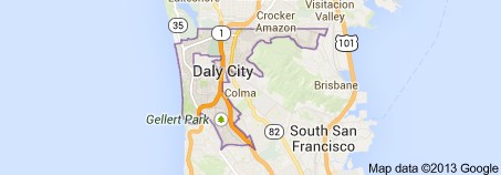
Daly City is the largest city in San Mateo County, California, United States, with a 2010 population of 101,123. Located immediately south of San Francisco, it is named in honor of businessman and landowner John Daly.
Neighborhood
Neighborhoods of Daly City include Westlake, St. Francis Heights, Serramonte, Top of the Hill, Hillside, Crocker, Southern Hills, and Bay shore. Westlake is notable for its distinct architecture and for being among the earliest examples of a planned, large-tract suburb. Bayshore, the easternmost neighborhood of Daly City, was once an incorporated city, Bayshore City, until being annexed to Daly City in the mid-1960s. Several Daly City neighborhoods, such as Crocker, Southern Hills, and Bayshore, share a street grid and similar characteristics with adjacent San Francisco neighborhoods, such as Crocker-Amazon and Visitacion Valley.
Several neighborhoods associated with Daly City lie outside of its city limits. Broadmoor is an unincorporated area completely surrounded by Daly City. Colma is an incorporated town sandwiched between Daly City, South San Francisco, and San Bruno Mountain. These enclaves are in charge of their own police and fire services, but also share some services with Daly City.
Education
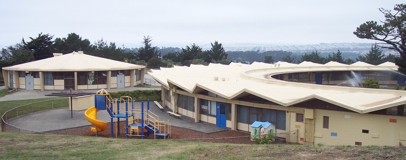
There are several public school districts in Daly City. The biggest are the Jefferson Elementary School District and Jefferson Union High School District, both of which are headquartered in the city. In addition, there is the Bayshore Elementary School District (2 schools), Brisbane School District (1 school in Daly City), and South San Francisco Unified School District (2 schools in Daly City). Daly City has two high schools: Westmoor High School and Jefferson High School, plus a continuation school, Thornton High School. Daly City is also home to two Catholic parochial schools: Our Lady of Perpetual Help on Top-Of-The-Hill and Our Lady of Mercy in Westlake.
The city has four Peninsula Library System branches.
Tranportation
Daly City’s highway infrastructure includes State Routes 1, 35 and 82, and Interstate 280. Interstate 280, which bisects Daly City, is a primary transportation corridor linking San Francisco with San Mateo and Santa Clara counties.
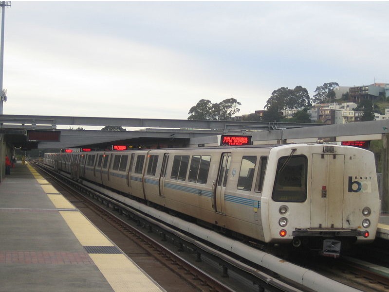
The U.S. Census Bureau has identified Daly City as among the cities with the highest transit ridership. Public transportation is provided by SamTrans, BART (at the Daly City Station and the Colma Station, which abuts the Daly City limits), and some San Francisco Muni lines. Daly City is approximately eight miles south-west of downtown San Francisco and the San Francisco International Airport is nine miles south-east of Daly City; both are easily accessible by freeway or BART. In the 1980s planning was conducted for the BART extension south from San Francisco, the first step being the Daly City Tailtrack Project, upon which turnaround project the San Francisco Airport Extension would later build.